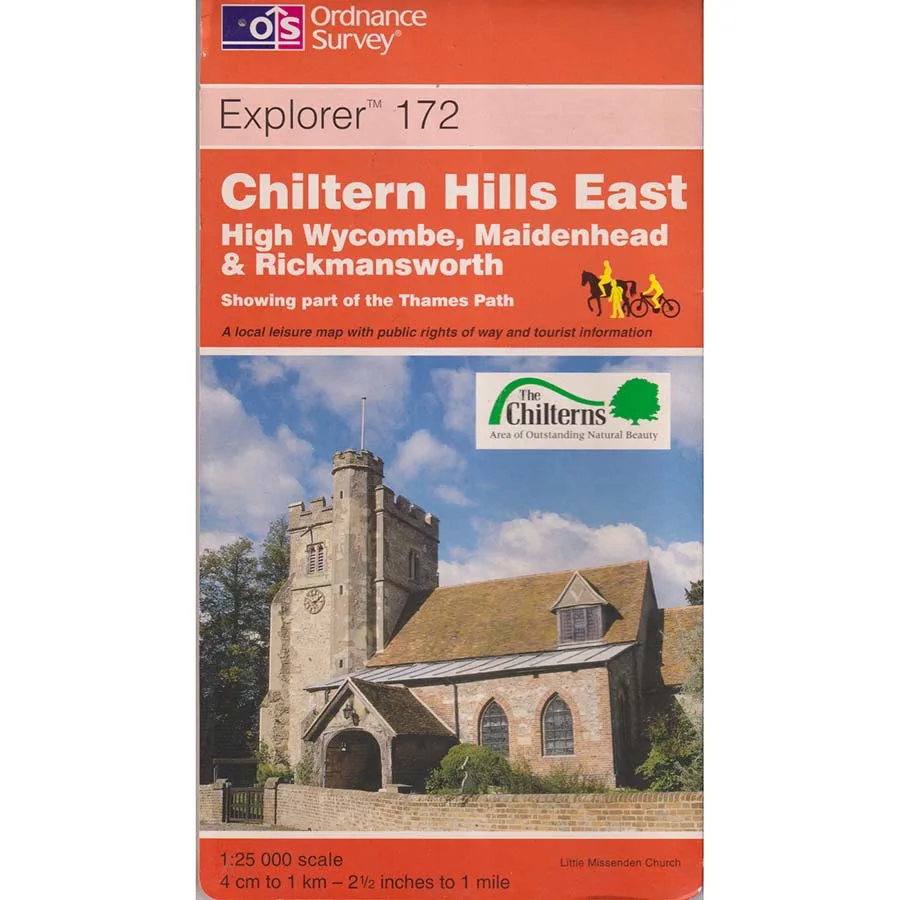
Chiltern Hills East - Explorer 172
Publisher: Ordnance Survey
Format: Paperback
ISBN: 9780319217962
The British countryside is a wonderful place, full of rolling hills, ancient woodland, picturesque villages and footpaths that occasionally disappear into a hedge with absolutely no explanation. Fortunately, the Ordnance Survey has spent generations attempting to impose some sort of geographical order upon this magnificent confusion, producing maps of such extraordinary detail that even a suspiciously isolated garden shed can find itself immortalised for posterity.
Chiltern Hills East – Explorer 172 (1999), published by Ordnance Survey, is a splendid example of British cartography at its most meticulous, covering the eastern Chilterns and offering walkers, cyclists, explorers and determined enthusiasts of contour lines an impressively detailed guide to the landscape.
At the celebrated 1:25,000 Explorer scale, where four centimetres represent one kilometre, the map reveals the intricate network of footpaths, bridleways, lanes, woodland, hills and settlements that make this part of England such a rewarding place to explore. It is the sort of publication that can transform an apparently straightforward Sunday stroll into an ambitious expedition involving three villages, an unexpected hill and a lengthy discussion about whether the path really does continue through that field.
The Chiltern Hills offer some of southern England’s most attractive scenery, with their characteristic chalk landscapes, wooded slopes, historic communities and winding routes through countryside that has witnessed centuries of agricultural activity, transport and settlement.
For walkers, the Explorer series has long been an indispensable companion, providing the reassuring impression that every destination can be reached through the careful interpretation of little coloured lines. Naturally, this assumes that the person holding the map knows which way north is pointing, an ability that cannot always be taken for granted.
There is also something wonderfully satisfying about a proper paper map. Unlike electronic navigation, it requires no battery, software update or mobile signal, and it will never suddenly announce that the quickest route across a valley involves making a U-turn in somebody’s driveway.
Published in 1999, this edition also possesses historical interest as a record of the landscape and mapped routes at the end of the twentieth century. Roads, paths, buildings and access arrangements may have changed since publication, so anyone intending to use it for serious navigation should consult current mapping before setting off.
For collectors, however, an older Ordnance Survey map offers something more than practical directions. It preserves a geographical snapshot of Britain at a particular moment, recording details that may since have disappeared beneath housing developments, road improvements and other enthusiastic attempts to make the countryside more convenient.
Condition: Good. This 1999 Ordnance Survey Explorer map is a previously owned copy showing ordinary signs of age, use and handling, but remains an appealing addition to a collection of regional maps and walking publications.
Offered by Crappy Old Books, where we appreciate the great outdoors, admire accurate cartography and consider becoming thoroughly lost in the Chilterns a considerably more respectable occupation than becoming lost in a shopping centre.
A useful vintage map for walkers, local historians, collectors and anyone who enjoys exploring the English countryside without depending entirely upon a small electronic device that might run out of power precisely when it becomes most necessary.
Keep browsing: See more Maps books Other books by Ordnance Survey